
Meet Drew Andrews
Prairie Research Institute Welcomes New Illinois State Geological Survey Director
William “Drew” Andrews is the 15th Illinois State Geological Survey director and state geologist in the survey’s 175-year history.
During his first year at the University of Kentucky, Andrews was on his way to change majors from computer science to anthropology when he came across a building with a pile of rocks outside the door. One caught his eye.
“One of them had a sign that said ‘Erratic. Pendleton County, Kentucky.’ And so, I was watching this rock, waiting for it to do something erratic. And it was just sitting there, of course,” Andrews said with a laugh. “As I was giving up and about to walk away, this young professor came bouncing out of the building and said, ‘Hey! You like rocks?’”
The professor explained the meaning of the term erratic and invited him into the geology building. (In case you’re wondering, an erratic is a rock that a glacier moved a long distance from its origins. Studying them can help us understand how the glacier flowed and its impacts on the landscape we live on today.)
“He introduced me to a lady who studied rivers and a guy who studied caves, and the guy who wrote the book on mineralogy, and another who studied earthquakes. He showed me the seismographs and jumped up and down to make it wiggle,” Andrews recalled. “I never got to the anthropology building.”
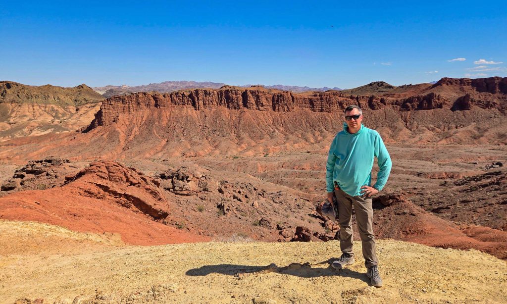
The New Illinois State Geologist
The pivot worked out. Andrews started an entry-level, part-time job washing dishes in a lab, which became the start of a 28-year career at the Kentucky Geological Survey. He worked at nearly every level in the organization up to acting director, receiving and giving mentorship along the way.
His project and publication topics at the Kentucky Geological Survey ranged from 3D mapping and rare earth elements to the geoheritage of communities and significant sites across Kentucky to landslide risks in Appalachia. Most recently, he ran the Nevada Bureau of Mines and Geology geologic mapping program.
Andrews now leads the Illinois State Geological Survey, one of the nation’s most respected state geological surveys.
Andrews took the baton from two respected scientists, former ISGS director Richard Berg and interim director Steve Brown.
Berg became ISGS director and Illinois State Geologist in 2015 and had spent an incredible five decades at ISGS by the time he retired, leaving a legacy of research, expertise, leadership, and service.
Brown’s 35 years in geologic research and public service included working across four state geological surveys and the U.S. Geological Survey. The 20-year ISGS veteran has served as interim director and Illinois State Geologist since Berg’s retirement in May 2025.
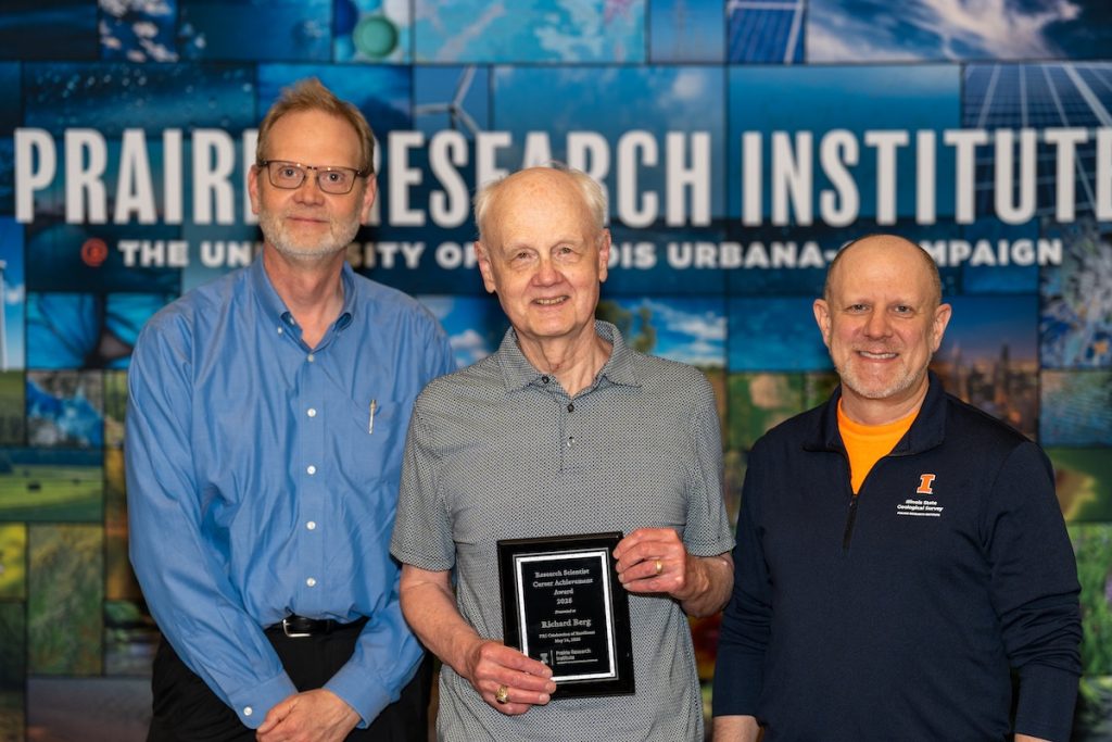
Former ISGS interim director Steve Brown, former ISGS director and Illinois State Geologist Richard Berg, and ISGS researcher Scott Elrick.
Mapping the Path Ahead
Over the course of his career, Andrews discovered a passion for geoheritage — connecting people to the geology behind their history and environment. Among other professional leadership and consulting work in geology, he serves on the U.S. Advisory Committee for Geoheritage.
“There’s a saying, ‘If it’s not grown, it’s mined.’ But there’s a corollary that people don’t often appreciate, which is: Even if it’s grown, that was accomplished because of mining. You can’t make your plow without steel. You don’t have the energy to run your equipment,” he said.
At ISGS, research is the core work — to generate new information and to keep researchers’ expertise fresh — and listening to stakeholders informs that research to produce useful data and maps, Andrews said.
He views his role as supporting and strengthening that work to make it sustainable and resilient in the face of changing policy and funding challenges, building on the foundation of those before him.
Andrews looks forward to working with the 3D mapping teams to expand the work and integrate multidisciplinary data that can be visualized, analyzed, and communicated using a 3D approach. He noted that Brown and others at ISGS are international leaders in 3D geologic mapping and have decades of expertise.
“I’m excited to help bring the different three-dimensional packages that have been developed for specific projects in specific areas to all of Illinois,” he said. “ISGS has the people and data. Illinois’ geologic context lends itself to that three-dimensional approach.”
Andrews expressed confidence and optimism in ISGS and the organization’s ability to navigate a changing world around it.
“We have a good group of people, and we’re mission-focused,” he said.
This story was published on Wednesday, October 7, 2026.